

Each grove is one plant
The aspen along the top of this pass are not stands of individual trees. A grove is a single organism — one root system underground, many trunks above it, every trunk genetically identical to every other.
Which is why the colour arrives in blocks. One hillside goes gold in a week while the next is still green, and it is not the weather or the aspect deciding: it is a different plant. When you see a hard edge between gold and green running up a slope, you are looking at the boundary between two individuals.

When to drive it
The first two weeks of October, most years. That is the resort's own calendar rather than a regional average, and it is the fortnight to plan a drive around. The turn still moves with the season and with elevation: the groves up high by Leviathan Peak go first, and the ones down toward Heenan Lake follow.
The rest of the year the drive is worth it anyway, for a reason people do not expect. You climb out of a river canyon through pine, top out at 8,314 feet, and then descend the east side into high desert — sagebrush, long views into Nevada, and the Antelope Valley opening below. Few roads change biome that completely in eighteen miles.
It closes, and it opens first
Monitor is gated every winter — at the Highway 4 junction on the west end and at US-395 on the east. Caltrans decides, not the calendar.
Since 2010 it has closed somewhere between the last week of November and the last week of December, and reopened between the first week of April and the first week of May. In 2026 it opened on 5 March, which is early.
The useful comparison is with its neighbour: Monitor almost always opens weeks before Ebbetts. In eight of the last ten seasons Monitor was open in April while Highway 4 stayed shut into May or later. If you are here in spring and want a pass, this is the one that is likely to be available.
Caltrans publishes live status on QuickMap, and the highway-number page takes a plain "89".
The climb
This is a serious piece of road on a bicycle, and it is the Death Ride's opening climb — the first thing riders do after leaving Markleeville.
From the Highway 4 junction, the west side runs about 8.2 miles and climbs roughly 2,650 feet, averaging around 6%. Two harder pitches sit in the middle. One climb database ranks it among the ten most epic in California and third in the whole Tahoe region.
The east side, up from Highway 395, is harder still — about 9.5 miles at 6.5%, and by that database's own difficulty index it is the toughest climb in the region, ahead of the west side of its own pass.
There is no shoulder on the west side. Two independent sources say so, and Caltrans's own cycling route description for this highway calls it narrow and twisting with no shoulders, recommending it for experienced riders. One climbing site describes a bike lane on the east side; the road's own custodian does not. Ride it as though there is none.
And there is no bike shop in this county on this side of the passes — the nearest is over Ebbetts and closed for half the year. Carry what you would need to get yourself home.
What else is up there
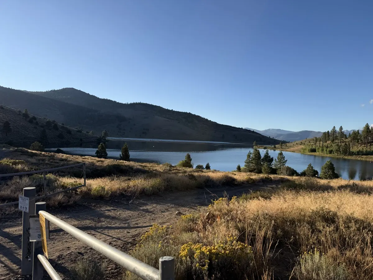
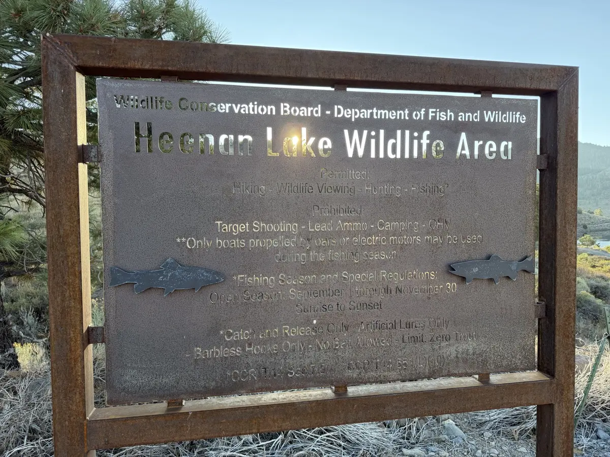
Heenan Lake sits below the road on the way up, open to catch-and-release only in a short autumn season — it has its own page now. Leviathan Peak stands above the aspen at the top — and gives its name to the old sulphur mine on its flank, which Anaconda worked to a half-million tons in the 1950s and which is a federal Superfund site today.
The eighteen miles of highway over the top carry an official name most maps do not print: the Robert M. Jackson Memorial Highway.