
What it is
A National Scenic Byway is a road the federal government has decided is worth driving for its own sake. Ebbetts Pass became a California State Scenic Highway in 1971 and a National Scenic Byway on September 22, 2005, and the designation covers sixty-one miles of Highways 4 and 89 between Arnold and Markleeville.
It is bookended by state parks — Calaveras Big Trees at the western end, Grover Hot Springs at ours — and in between it crosses two national forests, brushes two wilderness areas (Carson-Iceberg and Mokelumne), and is itself crossed by the Pacific Crest Trail.
The eastern end is out the door
The resort sits on Highway 89 at the byway's Alpine County end. The byway's guide lists the East Fork Carson River among its points of interest, describes it as one of only two major free-flowing rivers on the eastern Sierra, and names this resort as somewhere to stay on the drive — camping, housekeeping cabins and provisions.
The reach it means is the one out front. Ten and a bit miles of it, from Hangman's Bridge south past Markleeville, carry a scenic designation under the California Wild and Scenic Rivers Act, and it holds pure-strain Lahontan cutthroat. The gorge below the bridge was cut by an eighteen-mile glacier off Sonora Peak, and there are lava-tube caves on its west side.
Driving it
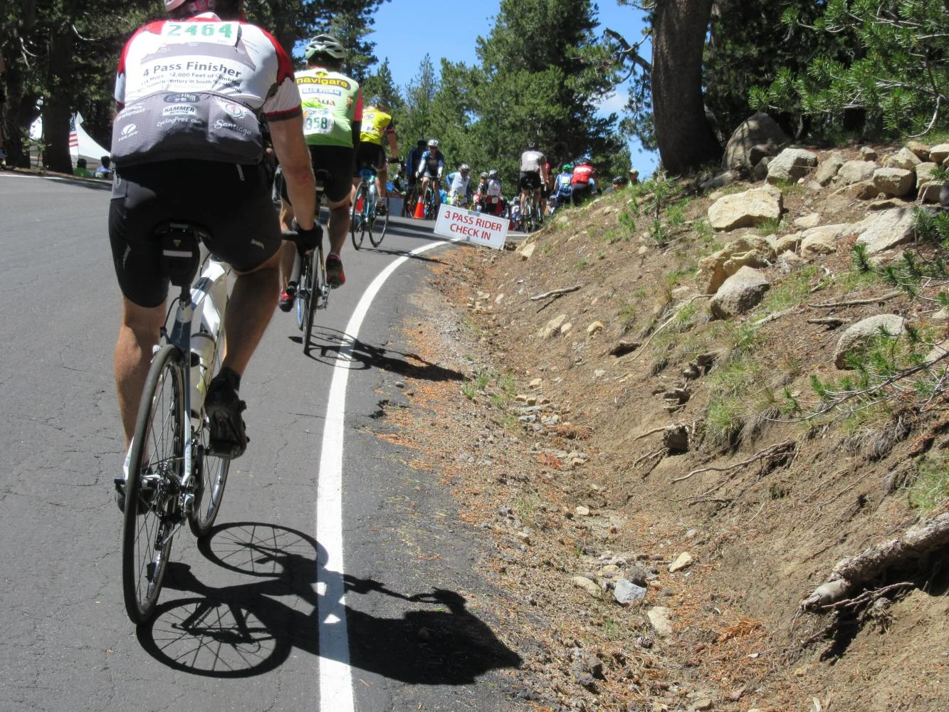
From the gate, west on 4 is the climb: the road narrows as it goes and runs twenty-three miles with no centre line at all, topping out at 8,730 feet at Ebbetts Pass. It is a summer road. The gate closes the high section from roughly December to May, and storms shut it intermittently at either end of the season — the byway posts current conditions, and so do we.
Two hours will get you over the top and down to Bear Valley. A day will get you to the big trees at Arnold and back, which is the whole byway, end to end and returned.
The byway's own guide
The Ebbetts Pass Scenic Byway Association is a non-profit that keeps the guide to all of it — thirty-eight points of interest, current road status, and the history of the crossing. It is better than anything we could write about the western sixty miles, and it is where to look before you drive it.
- The byway's guide — Ebbetts Pass Scenic Byway Association
- Their page on the East Fork Carson River — the point of interest at our end, and where they list the resort